
Application area
LiDAR solutions for UAV height sensing
Provide direct near-ground distance input for terrain following, low-altitude hold, and landing assistance—with clear paths to product selection, flight-controller integration, and operating limits.
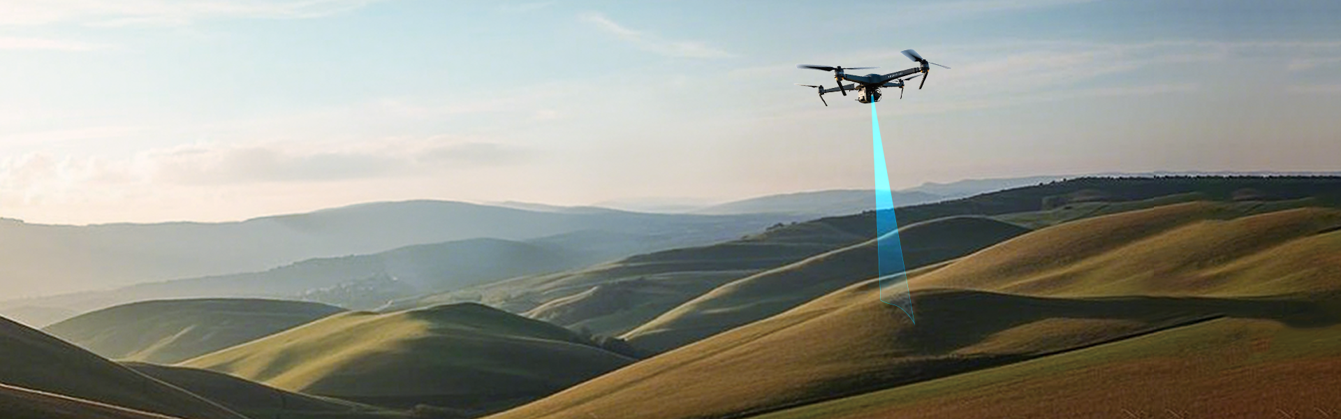
Agricultural, mapping, inspection, indoor, and landing UAVs may need the actual distance between the aircraft and the surface below. This height above ground is not the same as altitude above a fixed reference: terrain changes, surfaces vary, and the flight-control system still needs usable measurements within the sensor’s validated range.
Common engineering problems
- A direct ground-distance reference is required, not just a fixed altitude reference.
- The validated range must cover mounting clearance, normal height, and maximum height.
- Crops, soil, asphalt, water, and changing light reflect differently.
- Airframe obstruction, attitude, vibration, power, and interface setup change the result.
- Flight-stack versions and ports must be verified for the target build.
Capability overview
- A downward-facing LiDAR supplies direct distance to the target surface.
- Products with different range, rate, weight, and protection profiles support different task bands.
- Check mission conditions first, then select a model and integration path.
Choose the task
Terrain following adjusts height above ground as the surface changes during flight. Altitude hold focuses on low-altitude vertical stability and near-ground distance during descent.
UAV Terrain Following
Measure the distance between the aircraft and the surface below, providing continuous range input for low-altitude terrain-following adjustment.
→UAV Position Holding / Hovering
Measure distance to the surface below for near-ground altitude hold, hovering, and stable-altitude cruise input.
→UAV gimbal rangefinding
Provide target distance along the gimbal line of sight for range display, mission records, or upper-level calculations.
→UAV altitude hold and hover
Provide near-ground range input to the flight controller for low-altitude hold, hover, and descent.
→UAV detection and avoidance
Provide forward or downward range input so the UAV system can trigger slowdown, rerouting, or stop logic.
→Need help choosing a solution in this area?
Share your task conditions, operating environment, and system constraints. Our engineering team can help identify the right solution.