
Scenario
Application scenario
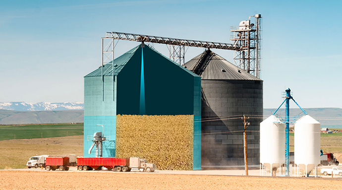
Level sensing starts with vessel reference geometry, empty/full distances, surface behavior, and dust. The sensor measures line-of-sight distance; the controller converts level and handles abnormal data.
Engineering problem
- Material surfaces form slopes, pits, or waves instead of an ideal plane.
- Dust, condensation, and window contamination reduce or block returns.
- Inlets, agitators, and vessel walls can enter the measurement path.
Why LiDAR
LiDAR provides non-contact surface distance from the vessel top for level conversion and thresholding, while the controller manages geometry and abnormal data.
Workflow
- Record vessel height, mounting reference, and empty/full distances.
- Choose a point clear of inlet flow, walls, and internal structures.
- Connect distance, status, and invalid-data handling to the PLC or acquisition system.
- Calibrate and maintain under real material, dust, and cleaning cycles.